

Grange Fell [Brund Fell]
Good walks are even better shared.
NY2616 : View towards Grange Fell
Trevor Harris Photo source
Overview
Grange Fell [Brund Fell]
Grange Fell, affectionately dubbed Brund Fell, stands tall in the picturesque Lake District, offering hikers a delightful escape into nature. At an elevation of 421 meters, its modest height does not deter adventurous spirits, as the fell rewards trekkers with stunning panoramas and a sense of serenity.
Geology
The fell's geology is a captivating mix, dominated by volcanic rock, specifically andesite, which tells a tale of the region's explosive volcanic history. The rugged outcrops and grassy slopes are embellished by a tapestry of sedimentary rocks fringed with lush greenery, creating an inviting environment for our feathered and four-legged friends.
Routes
A popular route begins from Grange Village, winding through bracken and sheep pastures. This 4.2 km trail, taking approximately 2.5 hours to complete, falls under the moderate category, perfect for those looking to stretch their legs without the drama of more demanding climbs. Just keep an eye out for any cheeky sheep!
Summit Features
On reaching the summit, hikers will be greeted by a well-cared-for cairn and a trig point, ideal for capturing memories against the stunning backdrop. It's the kind of place that shouts, 'Take my picture!' so don’t forget your camera!
Terrain
Expect the terrain to vary from grassy expanses to rocky scrambles, with boggy patches to keep you on your toes. A good pair of hiking boots is recommended, unless you fancy your sarnies tasting like bog water.
Views
From atop Grange Fell, the views are nothing short of breathtaking! With panoramic vistas of Derwentwater, Catbells, and numerous other enchanting hills, clear days reward hard-working hikers with sights that are worth their weight in gold. The best times to visit for optimal scenery are during spring and autumn, when the landscape dons a beautiful and vibrant cloak.
Hazards
While the paths are generally well-trodden, watch for some muddy spots and loose rocks that can sneak up on you. The unpredictable British weather can also throw a curveball, so ensure you check for storm clouds before setting out; they can shift faster than a cat on a hot tin roof!
Nearby Summits
If you’re itching for more elevation, nearby Catbells (451 m) and Walla Crag (381 m) can easily be your next adventure. Both are within striking distance and offer their own unique charms.
Access
Parking can be found in Grange Village, though it’s wise to arrive early to nab a spot on busy weekends. For those relying on public transport, local buses connect from Keswick frequently, making it quite easy to get here.
Facilities
Once back down from your jaunt, you can reward yourself at one of the local cafés, or pop into one of the quaint shops. Oh, and remember to visit the public toilets near the park entrance - they are not luxury spas, but they do the job!
History
The name Grange reflects its farming past, derived from the word meaning granary. This historical significance enhances the fell's charm, as many hikers have trodden its paths before you, each with their own story to tell.
In conclusion, Grange Fell is not just a hill; it’s a delightful day out, a nature fix, and a dose of fresh air all wrapped into one. Lace up those hiking boots and make sure your camera is ready to capture the implausible beauty that awaits on this marvelous fells!
Explore routes near Grange Fell [Brund Fell]
Walks starting near this hill. Open a route to check its map, distance and full itinerary.
Scafell Pike from Seathwaite via the Corridor Route
View route
Derwentwater Walk: full lakeside circuit from Keswick
View route
Whinlatter dark skies walk
View route
Whinlatter dark skies walk
View route
Route planning notes
These notes describe possible approaches. Check a route's map and access information when planning your walk.
From Grange Village
A popular and scenic route starting from the charming Grange village, leading through bracken-covered paths and offering splendid views of the surrounding fells.
Make a day of it, together
Find someone to share the walk with, or organise a day out along a route you like.
Photo Gallery
View all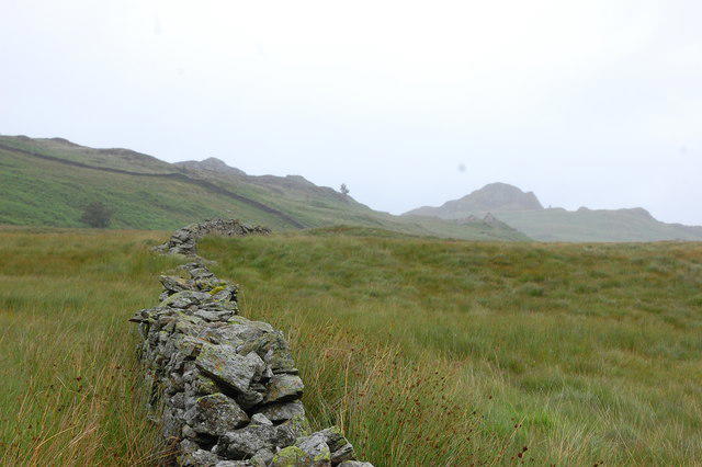 Photo could not load
NY2616 : View towards Grange Fell
Trevor Harris
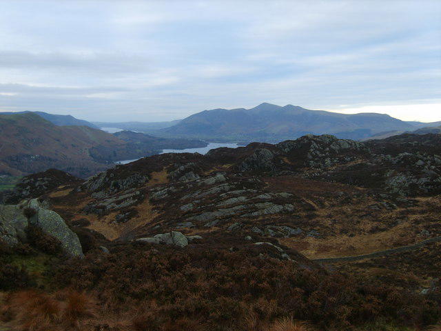 Photo could not load
NY2616 : Grange Fell
Michael Graham
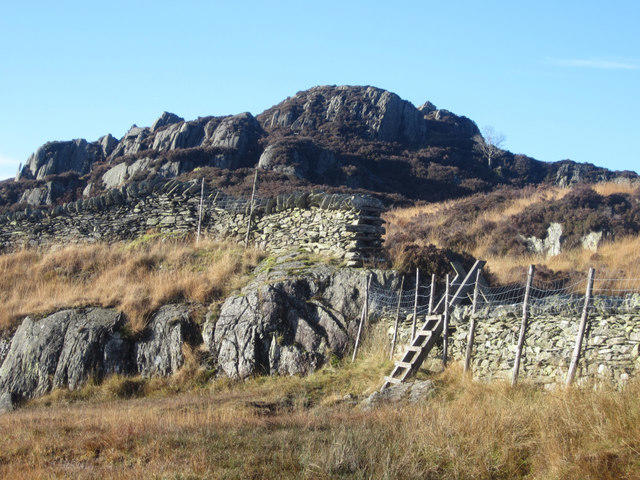 Photo could not load
NY2616 : Ladder stile near the summit of Grange Fell
Graham Robson
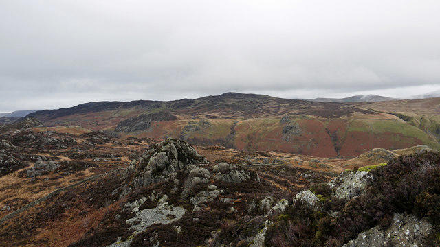 Photo could not load
NY2616 : Rough country on Grange Fell
Trevor Littlewood
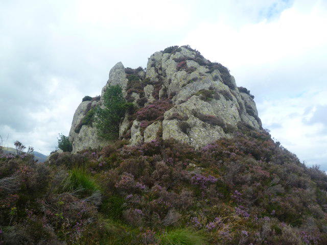 Photo could not load
NY2616 : Outcrop, Jopplety How
Michael Graham
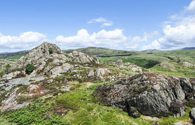 Photo could not load
NY2616 : Joppelty How
Trevor Littlewood
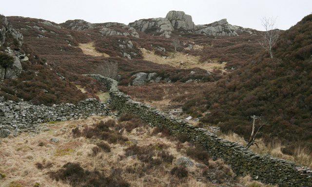 Photo could not load
NY2616 : Jopplety How
Mick Garratt
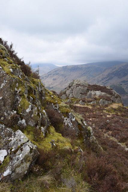 Photo could not load
NY2616 : On Grange Fell
Trevor Harris
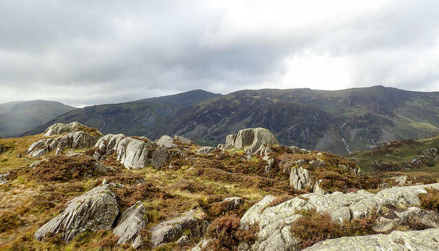 Photo could not load
NY2616 : Rock outcrops on Brund Fell
Trevor Littlewood
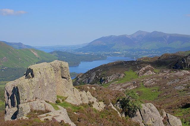
NY2616 : Jopplety How
Mick Garratt
Hill facts and local notes
Classifications
Elevation
417m
1,369 ft
Prominence
42m
Coordinates
54.5364, -3.1380
NY264162
OS Map
89 90
Explorer: OL4S
At the Summit
The summit features a well-maintained cairn and a small trig point, providing an excellent spot for a well-deserved breather and photos.
Terrain & Geology
Grange Fell is primarily composed of volcanic rock, specifically andesite, which provides the summit with its rugged character. The surrounding area showcases sedimentary rocks and a mix of soil types typical of the Lake District.
Views & Scenery
Stunning views of Derwentwater, Catbells, and the surrounding hills of the Lake District. On a clear day, one's eye can wander as far as the distant peaks of Helvellyn.
History & Heritage
Name Origin
Grange Fell's name is derived from the word 'grange', which refers to a granary or barn, indicating its farming past.
Historical Significance
The fell has been a popular hiking destination for generations, making it a staple in the Lake District walking community.
Getting There & Facilities
Parking
There is a small car park in Grange Village, which is within walking distance of the trailhead. On busy days, it can fill up quickly.
Public Transport
Buses from Keswick regularly serve Grange Village. Check local timetables for frequency.
Nearby Facilities
Grange Village has a few quaint cafés and shops, and public toilets are available near the park entrance.
Safety Information
Known Hazards
- Be wary of muddy paths after rain and the odd loose rock underfoot. Weather can change rapidly, so it's advisable to check conditions before heading out.
General Safety Tips
- Check weather conditions before setting out
- Carry appropriate clothing and equipment
- Let someone know your planned route
- Take a map, compass, and GPS device
- Carry emergency supplies: food, water, first aid kit, torch
Hills
Some common questions about the hills answered
Are there group walks up Grange Fell [Brund Fell]?
Many walkers use Walkmates to join or organise walks with others. You can check for group walks around Grange Fell [Brund Fell] through the maps
Are there other walkers around Grange Fell [Brund Fell]?
Activity varies by location and time, but Walkmates lets you see whether others have shared walks or shown interest in this area. Find other people through the walking friends search walking friends for Grange Fell [Brund Fell] search or of course create your own walk for Grange Fell [Brund Fell]
Can I organise a walk to Grange Fell [Brund Fell]?
Yes. If there aren’t any walks listed already, you can create a walk and make it available for others to join.
If you're signed up to Walkmates, you can create a walk to Grange Fell [Brund Fell].
How do I find a walk up this hill?
There are often multiple ways to walk this hill, depending on experience and route preference. Walkmates helps you explore walks and routes that others have shared.
Can I suggest a new route up Grange Fell [Brund Fell]?
Yes. You can suggest or create routes to share with others. Walkmates focuses on the social side of walking, so routes are used to help people organise walks and explore areas together, rather than as detailed navigation tools or route libraries.
Other uses really appreciate knowledgeable walkers sharing their routes. Share your favourite route to Grange Fell [Brund Fell] here
The is an error or something incorrect about this hill. How do I let you know?
We always strive to keep the information on Walkmates as accurate as possible. If you find an error, please let us know through the contact form and we'll aim to correct it as quickly as possible
Community Discussion
Comments
Location
![Grange Fell [Brund Fell] location map](https://cdn.walkmates.com/hill-maps/hill-sources/2496/54.53641_-3.13796.png)
Grid reference: NY264162
View on OpenStreetMapOpens a map in a new tab, centred on the hill.

No comments yet. Be the first.